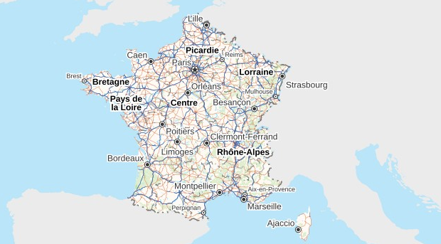
Mapping agencies in France play a crucial role in nation building through research, studies and analysis of various subjects like earth, geology, geography, oceanography and others. With changing times, new roles are emerging for these agencies. Today, they not only provide consistent, reliable mapping for the nation but are essential in bringing revolution of information in geography.
NATIONAL INSTITUTE OF GEOGRAPHIC AND FOREST INFORMATION
Previously known as the National Geographic Institute or IGN (Institute géographique national) is a French public state administrative establishment founded in 1940, to produce and maintain geographical information for France and its overseas departments and territories. The institute runs four laboratories to research geographical information acquisition, production, distribution and applications.
The agency is responsible for management and updation of :
- Geodesic and levelling networks,
- Aerial photographs,
- Geographical data bases and maps.
CENTRE NATIONAL D’ĒTUDES SPATIALES (CNES)
Also known as the National Centre for Space Studies, the French government space agency is a public administration with industrial and commercial purpose. With its headquarters in central Paris, the agency is under the supervision of the French Ministries of Defence and Research.
Founded in 1961, the Centre National D’etudes Spatiales is the government agency responsible for shaping and implementing France’s Space Policy in Europe. Its task is to:
- Invent the space systems of the future.
- Bring space technologies to maturity and grant France’s independent access to Space.
- Conceive and execute space programmes with its partners in the scientific community and industry.
- Be closely involved in many international cooperation programmes – the key to any far-reaching space policy.
The National Centre for Space Studies is responsible for putting together a French space programme and implementing it with the government’s approval. The institute was formerly known for the training of French astronauts and operates out of the Toulouse Space Center and Guiana Space Centre along with payloads launched from space centres operated by other countries.
BUREAU DE RECHERCHES GÉOLOGIQUES ET MINIÈRES(BRGM)
The Bureau de recherches géologiques et minières (BRGM) is a French government geological survey that solely aims at the management of resources, and surface and sub-surface risks.
Established in 1959 as a research and consultancy agency, it has its headquarters located in central Paris and the scientific and technical center is at Orleans.
After merging with the French Geological Survey in 1968, BRGM was responsible for surveying and publication of geological maps on the the BRGM web portal.
While responding to greater environmental problems such as water pollution, post-mining activities, natural risks, atmospheric carbon dioxide sequestration, waste management, environmental remediation and developing a climate of measurement systems and information, the BRGM adopted the signature, “Geoscience for a sustainable Earth” on 14 January 2003. Then, in 2004, the abbreviation, BRGM, became official.
The agency’s prime objectives were:
- Understanding and identifying geological phenomena in order to develop adequate and responsive techniques to the environmental difficulties encountered in managing the soil, the subsoil, French mineral resources, post-mining safety, natural risks, soil pollution and climatic change.
- Another objective is to make scientific data publicly available and methodologies and tools that will spread awareness about the management of problems resulting from global warming and policies of territorial development.
