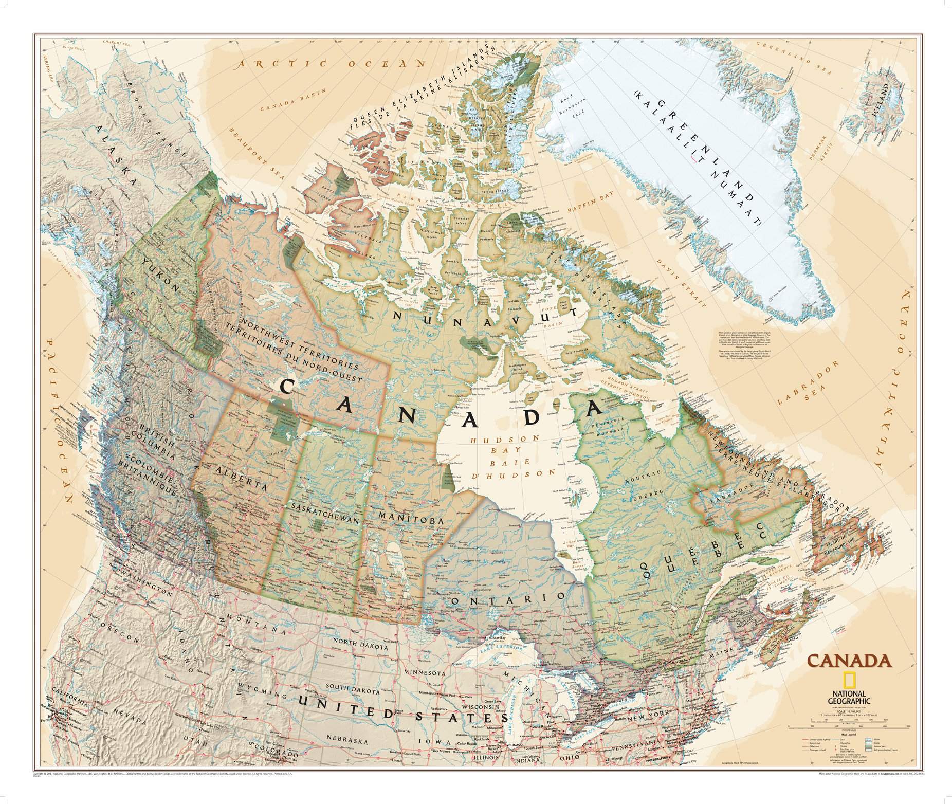
Alberta is one of three Canadian provinces and territories to border only a single U.S. state and one of only two landlocked provinces. It is Canada’s fourth most populous province and the most populous of Canada’s three prairie provinces.
Facts and Figures: Alberta
| Area Covered | 640,330.46 km² |
| Latlong Coordinates | 53.9333° N, 116.5765° W |
| Capital | Edmonton |
| Population | 4,067,175 |
| Postal Code | T |
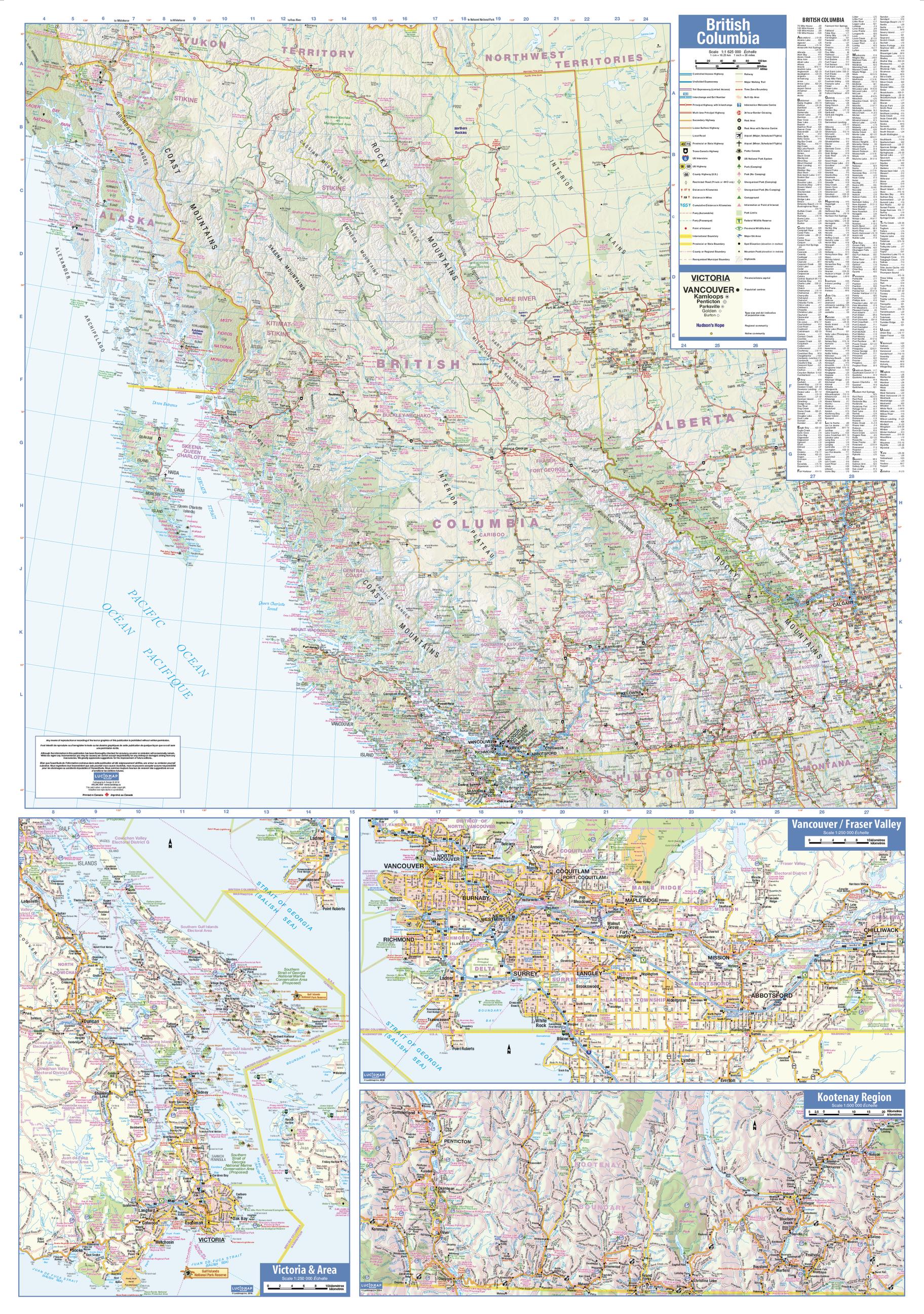
| Nearby Cities/States | Cochrane, Okotoks, Strathmore, Whitecourt, Canmore, Sylvan Lake, Edmonton, Fort Saskatchewan, Leduc, Spruce Grove, St.Albert. |
| Popular Places | Banff National Park, Lake Louise, Icefields Parkway and the Columbia Icefield, Moraine Lake, Jasper National Park, Calgary Stampede, Maligne Canyon, Athabasca Falls, Sunwapta Falls, Lake Minnewanka, etc. |
| Economy | Alberta’s economy is also Canada’s fourth largest province by population.
The province has a presence in many industries like agriculture, forestry, education, tourism, finance, manufacturing, and is recognized as one of the strongest in the world, supported by the burgeonong petroleum industry and to a lesser extent, agriculture and technology. In 2014, Alberta had the second-largest economy in Canada after Ontario, with a GDP exceeding C$376 billion. |