North Carolina Tennessee Cumerberland Blue Ridge - Published 1889
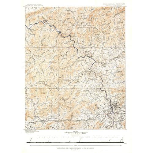
Published in October 1889, the "North Carolina-Tennessee: Asheville Sheet" map shows the area from the Cumberland Plateau to the Blue Ridge Mountains. This intricately drawn map shows the city of Asheville and other towns throughout the region. A unique historical map for collectors.
Details
Published in October 1889, the "North Carolina-Tennessee: Asheville Sheet" map shows the area from the Cumberland Plateau to the Blue Ridge Mountains. This intricately drawn map shows the city of Asheville and other towns throughout the region. A unique historical map for collectors.
More Information
| SKU | ngmaps-HM18891000-1 |
|---|---|
| Flat Size | 16 x 22 in |
| Publication Date | 1889 |
| Publisher Name | National Geographic |
Reviews
{{title}}
{{detail}}
No reviews yet ...
Have an opinion? Help others decide. Share your knowledge about this product by submitting a review.
{{/items}}
{{#previousPage}}
Previous Page
{{/previousPage}}
{{#load-more-src}}
Next Page
{{/load-more-src}}
★★★★★
★★★★★