Prince Edward Island
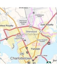
View the maps of Prince Edward Island, the smallest province both in population and in land size. These maps include rich regional data like highway infrastructure, postal code boundaries and full street labeling. Maps can be customized by adding your own title, selecting a size, orientation, finish and by centering the map on a location of your choice.