Yukon
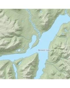
The Yukon Lakes map uses relief shading to highlight features like elevation contours, landforms, along with roads, rails, trails, and park boundaries. It comes with a customizable base that shows key points of interest such as campsites, trailheads, and landmarks. Available in various sizes and finishes, these maps are ideal for business and organizational functions.