Vancouver Downtown Map
Details
Map of Downtown Vancouver BC
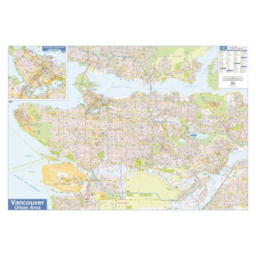
Lucidmap published map of Vancouver Downtown is an informative and attractive map that comes with insets and a legend. The map covers the Vancouver urban area and includes all the major and minor roadways, streets, landmarks, parks, districts, highways, crossroads, recreation centres, schools, government and corporate buildings, interesting tourist spots and more.
About Vancouver Downtown Region
The Vancouver Downtown BC is the southeastern portion of the peninsula in the north-central part of the City of Vancouver. It is the main city centre and central business district of the city, Metro Vancouver, and the Lower Mainland regions.
Besides the readily identifiable office towers of the financial and central business districts, Downtown Vancouver also includes residential neighbourhoods in the form of high-rise apartment and condominiums, in Yaletown and Coal Harbour. Other downtown neighbourhoods include the Granville Mall and Entertainment District, Downtown South, Gastown, Japantown, and Chinatown.
Geography
The downtown Vancouver area is generally considered to be bounded by Burrard Inlet to the north, Stanley Park and the West End to the west, False Creek to the south, and the Downtown Eastside to the east. Most sources include the full downtown peninsula (adding the West End neighbourhood and Stanley Park) as downtown Vancouver, but the City of Vancouver defines them as separate neighbourhoods.
Click here to buy more British Columbia Map with Cities and Towns, Vancouver BC Map, Greater Vancouver Map | Postal Code Map
More Information
| SKU | lucidmap-LWM69-1 |
|---|---|
| Map Scale | 1:31,250 |
| Flat Size | 40 x 28 in |
| Publication Date | 2018 |
| Publisher Name | Lucidmap |
Reviews
{{title}}
{{detail}}