Lethbridge Postal Code Map, Alberta
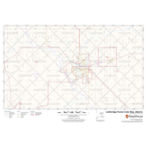
The Lethbridge postal code map shows the postal code areas divided using clear boundaries. The detailed base map features information about political boundaries, place names, highways, major parks, conservation areas, and points of interest. You can use this map for quick reference of infrastructures & other street details like interchanges, weigh stations and tolls. It is ideal for tracking down delivery service areas, sales territories, and catchment areas.
You can also customize this map around your preferred location by clicking on 'Close Preview'. If you have any questions, reach out to us over the phone (866) 525-2298 or write to us.
Details
Lethbridge Postal Code Map
You can view the political boundaries, place names, highways, major parks, and conservation areas, and other points of interest on this Lethbridge postal code map. It is also helpful for a quick reference of infrastructures & other street details like interchanges, weigh stations and tolls. The information on this map can be used in tracking down delivery service areas, sales territories, and catchment areas. Moreover, it assists in providing up-to-date information & is suitable to create multiple maps from city to county scales or anywhere in between.
The customizable base map allows you to create a map centered around your preferred location. You can do this by clicking on 'Close Preview' and then search for the location on the map. Use the drag and drop arrows and zoom buttons to define the print area. You can preview your map with all the details of the final print but at a much lower quality. The final map is available in high quality in various sizes and finishing materials.
About Lethbridge
Lethbridge lies southeast of Calgary on the Oldman River and is the largest city in Southern Alberta. It is the commercial, financial, transportation and industrial center of Southern Alberta. While the city's economy developed from drift mining for coal and agriculture, half of the workforce is employed in the health, education, retail and hospitality sectors. Cultural venues in Lethbridge includes sports centers, museum, and art theatres.
Lethbridge Postal Codes
Each administrative division maintains its own postal code for mail delivery purposes. These codes are essential for mails delivery. The postal codes in Lethbridge consist of alphanumeric characters and are written in a format of ANA-NAN. They are categorized into two sections, Forward Sortation Area, the initial segment and the Local Delivery Unit. The first 3 characters are called the forward sortation area and are used to identifies the province or territory, distinguish between urban and rural area, and to more precisely locate a geographic district. The Forward Sortation Area of Lethbridge ranges from T1H to T1K.
You can use these postal codes to:
1. Locate the nearest postal outlet.
2. Identify your federal riding and member of parliament.
3. Find the nearest bank branches and ATMs as most Canadian banks also have online tools that use postal codes.
More Information
| SKU | ecfe74dcf99c2bec1d4450323d39fec2-Lethbri-P-AB |
|---|---|
| Map Specification | Max Print Scale - 1:15,000 Min Print Scale - 1:2,000,000 Optimal Print Scale - All |
| Publisher Name | MapSherpa |
Reviews
{{title}}
{{detail}}