Southern British Columbia
Create custom regional maps in Canada from this series of attractive southern bc road map covering most of the populated areas across Canada. Maps are developed from Lucidmap’s iconic Canadian cartography. Coverage includes all of Vancouver Island, and up the mainland coast from Vancouver to Queen Charlotte Sound. Communities along the eastern map limit include Kamloops and Clearwater. The northern limit of the map contains areas north of Prince George, including Bear Lake. Coverage follows the Yellowhead highway west from Pringe George to Vanderhoof, Fraser Lake and Savory. Native scale is 1:500,000.
Details
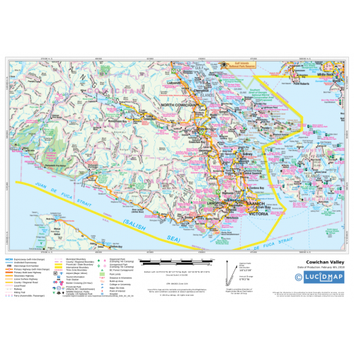
Map of Southern BC
This is a custom map of Southern portion of British Columbia that can be zoomed in and out to centre on a specific location. You can adjust the area around your centre that you will need for your map or even search for your place in the search option given with the map. Being a custom map, you can reach out to even the smallest of places. Clearly labelled with numerous details about place names of mountains, peaks, glaciers, rivers, regions, boundaries & more, this map is a wonderful addition for those looking for a personalized map for their business location, office or home. One can create multiple maps from this base map which is a part of a series of attractive detailed road maps covering most of the populated areas across Canada. Developed from Lucidmap’s iconic Canadian cartography, the map covers the entire Vancouver Island, and up the mainland coast from Vancouver to Queen Charlotte Sound. Communities along the eastern map limit include Kamloops and Clearwater. The northern limit of the map contains areas north of Prince George, including Bear Lake. Coverage follows the Yellowhead highway west from Prince George to Vanderhoof, Fraser Lake and Savory. The map uses a Native scale of 1:500,000 and one can get this map in different finishes, sizes, orientation & with own title.
Nearby Cities
Kamloops, Seattle, Oregon, Washington, Portland
Landmarks & Important buildings
Butchart Gardens, Sea-to-Sky Gondola, Royal BC Museum, Whistler Blackcomb, Victoria’s Inner Harbour, Pacific Rim National Park Reserve, Stanley Park, Granville Island, Capilano Suspension Bridge Park, Vancouver Aquarium.
More Information
| SKU | 350d063ad1a0d2090b5707633fce9980 |
|---|---|
| Map Specification | Maximum Print Scale - 1:250,000 Minimum Print Scale - 1:750,000 Optimal Print Scale - 1:500,000 |
| Publisher Name | Lucidmap |
Reviews
{{title}}
{{detail}}