Constance Bay Ontario Map
Customize this Constance Bay Ontario Map around the area of your interest such as a business location, sales territory or anything you like. You can zoom the map in or out, center on your location through search or move it around. You can preview the map again after the adjustments before ordering. We will ship a high quality print of your selection in the orientation, size & paper finish of your choice.
We also offer a premium version of this Constance Bay Ontario Map using TomTom's map data starting at $39.99. If you have any questions, we will be happy to answer over the phone (866) 525-2298 or write to us
We also offer a premium version of this Constance Bay Ontario Map using TomTom's map data starting at $39.99. If you have any questions, we will be happy to answer over the phone (866) 525-2298 or write to us
Details
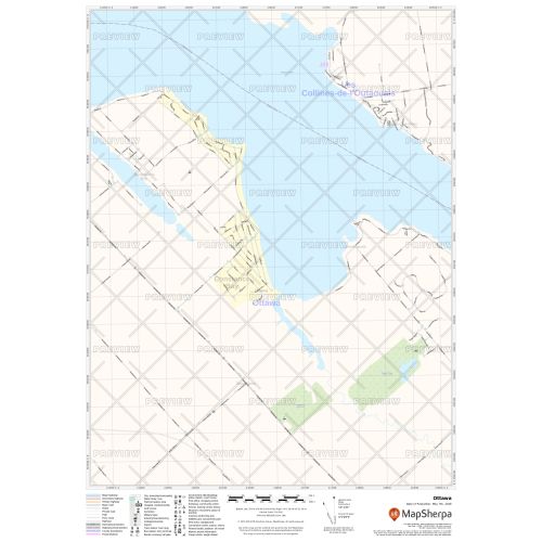
Map of Constance Bay Ontario from MapSherpa Street products is ideal for the business owner who needs local or regional road network information on within Constance Bay, Ontario for service delivery, catchment area or sales territory. Information on the map highlights Constance Bay Municipal, Town and Zip Code boundaries. This multi-scale map of Constance Bay Ontario Map uses the Open Street Map data; you can count on this map showing the latest changes in your area. This map can also be customized to change the extents, orientation and center of the map and has been designed to make Constance Bay maps suitable from city to county scales, and anywhere in between. Rich regional map data includes highway infrastructure including, interchanges, weigh stations and tolls. Full street labelling, block numbers and street direction afford detailed city level maps of Constance Bay, Ontario. Infrastructure such as airports, hospitals, shopping malls, exhibition centers, industrial complexes and other business centric features are easily identifiable on the map.
More Information
| SKU | 9ec2ccde4ea71cd83900cdedf628c943-Cont_Bay_ON |
|---|---|
| Map Specification | Max Print Scale - 1:15,000 Min Print Scale - 1:2,000,000 Optimal Print Scale - All |
| Publisher Name | MapSherpa |
Reviews
{{title}}
{{detail}}
No reviews yet ...
Have an opinion? Help others decide. Share your knowledge about this product by submitting a review.
{{/items}}
{{#previousPage}}
Previous Page
{{/previousPage}}
{{#load-more-src}}
Next Page
{{/load-more-src}}
★★★★★
★★★★★