Lorette Manitoba Map
We also offer a premium version of this Lorette Manitoba Map using TomTom's map data starting at $39.99. If you have any questions, we will be happy to answer over the phone (866) 525-2298 or write to us
Details
Lorette Manitoba Map
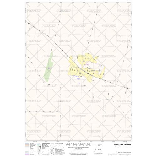
The Lorette Manitoba map highlights the city's Municipal, Town and Zip Code boundaries. It shows highway infrastructure including, interchanges, weigh stations and tolls with full street labeling, block numbers, and street direction. Other major infrastructures such as airports, hospitals, shopping malls, exhibition centers, industrial complexes, and other business-centric features are also easily identifiable on the map. The map is ideal for the business owner who needs local or regional road network information for service delivery, catchment area or sales territory.
You also have the option to customize this map around your preferred location by clicking on 'Close Preview'. Before placing an order choose a title and your desired size, orientation, and finishing material.
About Lorette Manitoba
Lorette is an unincorporated community recognized as a local urban district in the Rural Municipality of Taché. Originally named Petite Pointe du Chênes, it is located 25 km southeast of Winnipeg in the province of Manitoba. The name was later changed by a Bishop Tache to honor a priest in France who had made a considerable donation to the St. Boniface Cathedral.
This community was settled by Métis farmers, traders, freighters and buffalo hunters. Today, their major employers are the Municipality of Taché, the Seine River School Division, Division Scolaire Franco-Manitobaine, and All-Star Concrete.
More Information
| SKU | 9ec2ccde4ea71cd83900cdedf628c943-Lorette |
|---|---|
| Map Specification | Max Print Scale - 1:15,000 Min Print Scale - 1:2,000,000 Optimal Print Scale - All |
| Publisher Name | MapSherpa |
Reviews
{{title}}
{{detail}}