Southern Manitoba Map
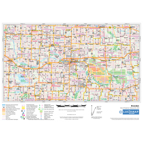
Create custom regional maps in Canada from this series of attractive detailed road maps covering most of the populated areas across Canada. Map of Southern Manitoba developed from Lucidmap’s iconic Canadian cartography. Coverage in the south begins at the Canada-USA border and extends north to Paint Lake Provincial Park. The western boundary of the map includes areas slightly west of the Manitoba-Saskatchewan border. The eastern limit of the map includes Brightstone Sand Hills Provincial Forest, Norway House and Cross Lake. Native scale is 1:500,000.
Details
Map of Southern Manitoba Canada
Create custom regional maps in Canada from this series of attractive detailed Manitoba road maps covering most of the populated areas across Canada. Maps are developed from Lucidmap’s iconic Canadian cartography. Coverage in the south begins at the Canada-USA border and extends north to Paint Lake Provincial Park. The western boundary of the map includes areas slightly west of the Manitoba-Saskatchewan border. The eastern limit of the map includes Brightstone Sand Hills Provincial Forest, Norway House and Cross Lake. Native scale is 1:500,000.
More Information
| SKU | 350d063ad1a0d2090b5707633fea2908 |
|---|---|
| Map Specification | Maximum Print Scale - 1:250,000 Minimum Print Scale - 1:750,000 Optimal Print Scale - 1:500,000 |
| Publisher Name | Lucidmap |
Reviews
{{title}}
{{detail}}