Saskatchewan and Manitoba Canada - Published 1979
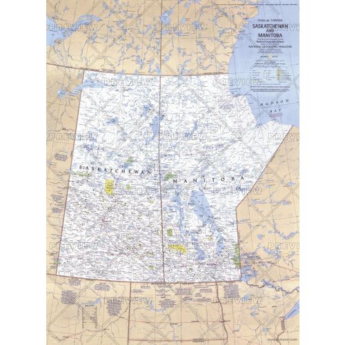
This travel map of the Canadian provinces of Saskatchewan and Manitoba shows hundreds of national parks, wilderness areas, campgrounds, and ski resorts. It also highlights points of interest in cities such as Winnipeg and Regina. Published in May 1979.
Details
This travel map of the Canadian provinces of Saskatchewan and Manitoba shows hundreds of national parks, wilderness areas, campgrounds, and ski resorts. It also highlights points of interest in cities such as Winnipeg and Regina. Published in May 1979.
More Information
| SKU | ngmaps-HM19790501-1 |
|---|---|
| Flat Size | 22.75 x 31 in |
| Publication Date | 1979 |
| Publisher Name | National Geographic |
Reviews
{{title}}
{{detail}}
No reviews yet ...
Have an opinion? Help others decide. Share your knowledge about this product by submitting a review.
{{/items}}
{{#previousPage}}
Previous Page
{{/previousPage}}
{{#load-more-src}}
Next Page
{{/load-more-src}}
★★★★★
★★★★★