Lloydminster Postal Code Map
Use the Lloydminster postal code map for quick reference of infrastructures & other street details like interchanges, weigh stations and tolls. Create multiple maps by customizing the base map around the area of your choice. Search for the location on the map, use the zoom buttons and drag arrows to define the print area. This high-quality map labels all the postal codes of the area with clear boundaries. You can use this for tracking down delivery service areas, sales territories, and catchment areas.
If you have any questions, reach out to us over the phone (866) 525-2298 or write to us.
Details
Lloydminster Postal Code Map
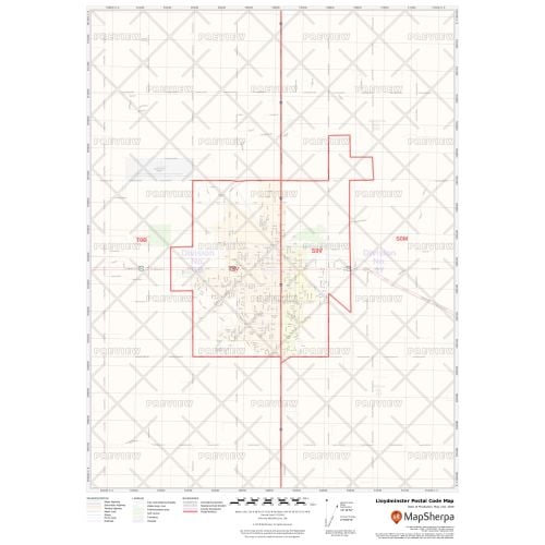
The postal code map of Lloydminster shows political boundaries, place names, highways, major parks and conservation areas, and points of interest. You can use this map for quick reference of infrastructures & other street details like interchanges, weigh stations and tolls. The map is ideal for tracking down delivery service areas, sales territories, and catchment areas. Moreover, it also assists in providing up-to-date information & is suitable to create multiple maps from city to county scales or anywhere in between.
You can create multiple maps by customizing this map around your business service area. Search for the location on the map and drag the arrows to define the print area. You can preview your map with all the details of the final print but at a much lower quality. The final map is available in high quality with clear boundaries that divide different postal codes. You also get the option to add a title and select your desired size, orientation, and finishing material.
About Lloydminster
Lloydminster has an unusual geographic distinction of straddling the provincial border between Alberta and Saskatchewan. It is incorporated by both provinces as a single city with a single municipal administration. The economy of the city is driven primarily by the petroleum industry. Other than that agriculture is also an important economic activity.
About Postal Codes
The format of the Canadian postal code is 'ANA NAN', where A represents an alphabetic character and N is a numeric character. The first character represents a province or territory, or a major sector entirely within a province. The first three characters of the postal code identify the forward sortation area (FSA) which are associated with a postal facility from which mail delivery originates. The forward sortation area range from S9V (SK), T9V (AB).
You can also view the Canada Postal Code Map, Ontario Postal Code Map, Toronto Postal Code Map, Kitchener Postal Code Map, and Waterloo Postal Code Map.
More Information
| SKU | ecfe74dcf99c2bec1d4450323d39fec2-Lloy-P-SK |
|---|---|
| Map Specification | Max Print Scale - 1:15,000 Min Print Scale - 1:2,000,000 Optimal Print Scale - All |
| Publisher Name | MapSherpa |
Reviews
{{title}}
{{detail}}