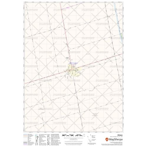
Cookstown Ontario Map
We also offer a premium version of this Cookstown Ontario Map using TomTom's map data starting at $39.99. If you have any questions, we will be happy to answer over the phone (866) 525-2298 or write to us
Details
Cookstown Ontario Map
The high-quality Cookstown Ontario map features local and regional road network information like highway infrastructure including interchanges, weigh stations and tolls. Municipal, Town, and Zip Code boundaries highlighted on the map are helpful while planning deliveries, catchment area or sales territory. Full street labeling, block numbers, and street direction afford detailed city level maps of Cookstown Ontario. Infrastructure such as airports, hospitals, shopping malls, exhibition centers, industrial complexes, and other business-centric features are also easily identifiable on the map.
You can buy this map in your choice of size, orientation, and finishing material. The map can also be customized around your preferred location by clicking on 'Close Preview'.
About Cookstown Ontario
Cookstown was incorporated as a village in 1962. Later, Cookstown, the Township of Innisfil, and a northern section of the Township of West Gwillimbury amalgamated on January 1, 1991, to form the Town of Innisfil. Now Cookstown lies at the southwest extremity of the Town of Innisfil.
More Information
| SKU | 9ec2ccde4ea71cd83900cdedf628c943-Cookstown_ON |
|---|---|
| Map Specification | Max Print Scale - 1:15,000 Min Print Scale - 1:2,000,000 Optimal Print Scale - All |
| Publisher Name | MapSherpa |
Reviews
{{title}}
{{detail}}