Jersey - Channel Islands Map
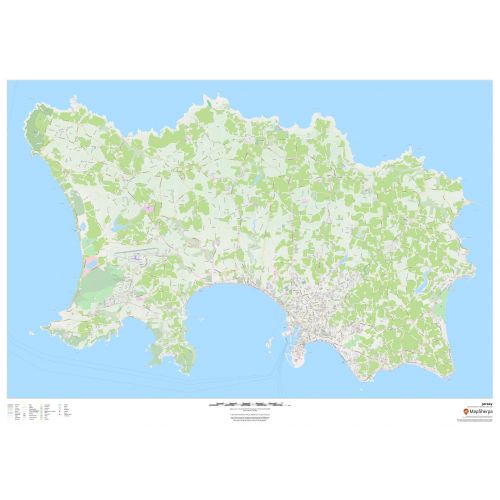
This wall map of Jersey in the Channel Islands features a clean design and rich detail designed for the traveller. Street mapping of the capital Saint Helier is included, along with land use, points of interest, and many of the building outlines. Walking paths throughout the island are displayed to assist with the local visitor.
Details
This wall map of Jersey in the Channel Islands features a clean design and rich detail designed for the traveller. Street mapping of the capital Saint Helier is included, along with land use, points of interest, and many of the building outlines. Walking paths throughout the island are displayed to assist with the local visitor.
More Information
| SKU | dmsg-brit-jersey-1 |
|---|---|
| Map Scale | 1:16,000 |
| Flat Size | 47 x 33.25 in |
| Publication Date | 2018 |
| Publisher Name | MapSherpa |
Reviews
{{title}}
{{detail}}
No reviews yet ...
Have an opinion? Help others decide. Share your knowledge about this product by submitting a review.
{{/items}}
{{#previousPage}}
Previous Page
{{/previousPage}}
{{#load-more-src}}
Next Page
{{/load-more-src}}
★★★★★
★★★★★