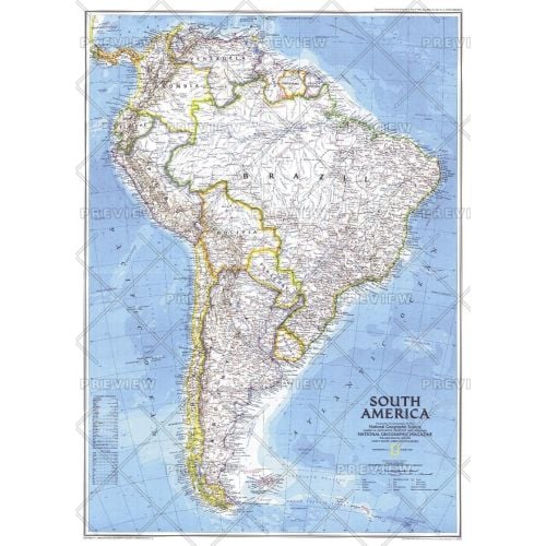
South America - Published 1992
This attractive map displays the political boundaries of South America. At the time of this map's creation, only one country on the continent was not an independent nation; French Guiana remains part of France and hosts the European Space Agency's principal spaceport near the equator, the Centre Spatial Guyanais. Published in August 1992 with the supplemental map "Amazonia, A World Resource At Risk."
Details
This attractive map displays the political boundaries of South America. At the time of this map's creation, only one country on the continent was not an independent nation; French Guiana remains part of France and hosts the European Space Agency's principal spaceport near the equator, the Centre Spatial Guyanais. Published in August 1992 with the supplemental map "Amazonia, A World Resource At Risk."
More Information
| SKU | ngmaps-POD19920801-1 |
|---|---|
| Flat Size | 20.25 x 28 in |
| Publication Date | 1992 |
| Publisher Name | National Geographic |
Reviews
{{title}}
{{detail}}