Kimberley Supermap
Details
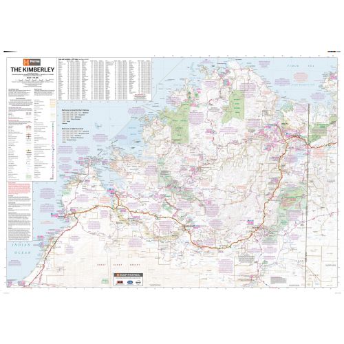
Kimberley Australia map
This extra-large and detailed Kimberley Australia map mark major roads, 4WD tracks, parks & reserves, hospitals, airports, camping areas, and other points of interest. A distance chart, town and localities index, and a map legend is also featured on the map. National parks and water bodies are highlighted in green and blue colors throughout the map.
You can buy this map in a selection of finishing materials ranging from paper, matte plastic, and laminated.
Where is Kimberley?
Kimberley is one of the nine regions of Western Australia. It is bounded by the Indian Ocean to the west, the Timor Sea to the north, the Great Sandy and Tanami Deserts to the south and the Northern Territory to the east.
Other 8 regions of Western Australia
The other eight regions of Western Australia are defined by the Government for the purpose of economic development administration. These regions are:
- Gascoyne
- Goldfields-Esperance
- Great Southern
- Mid West
- Peel
- Pilbara
- South West
- Wheatbelt
More Information
| SKU | hema-ZEOKIM01F-1 |
|---|---|
| Map Scale | 1:715,000 |
| Flat Size | 55.25 x 38.75 in |
| Publication Date | 2014-08-04 |
| Publisher Name | Hema Maps |
Reviews
{{title}}
{{detail}}