XYZ UK Historical Scotland 1920
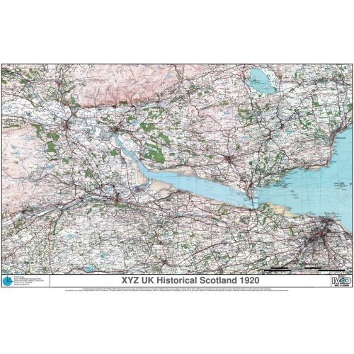
Ordnance Survey 1 inch to the mile (1:63 360) colour mapping of Scotland from the Popular Edition of the late 1920s / early 1930s. This forerunner to the modern LandRanger maps lets you see what your area was like 70 years ago. Converted to the present day GB National Grid.
Details
Ordnance Survey 1 inch to the mile (1:63 360) colour mapping of Scotland from the Popular Edition of the late 1920s / early 1930s. This forerunner to the modern LandRanger maps lets you see what your area was like 70 years ago. Converted to the present day GB National Grid.
More Information
| SKU | 8e326dee542cfbc0c65e80fa3b017385 |
|---|---|
| Map Specification | Optimum Print Scale: 1:63,000 |
| Publisher Name | XYZ Maps |
Reviews
{{title}}
{{detail}}
No reviews yet ...
Have an opinion? Help others decide. Share your knowledge about this product by submitting a review.
{{/items}}
{{#previousPage}}
Previous Page
{{/previousPage}}
{{#load-more-src}}
Next Page
{{/load-more-src}}
★★★★★
★★★★★