UK Local - Fixed Scale
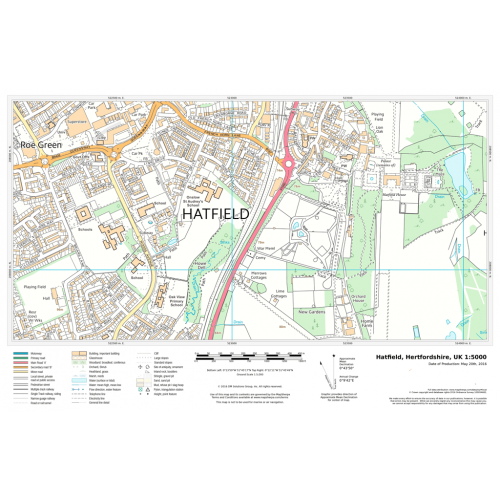
Detailed national mapping based on Ordnance Survey Vector Map Local data. Accurate, large scale mapping at a fixed scale of 1:5,000. Rich urban detail and street-level information which is easy to understand and suitable for public consultations about planning proposals. Features shown include roads, railways, watercourses, vegetation and land areas and boundaries.
Details
Detailed national mapping based on Ordnance Survey Vector Map Local data. Accurate, large scale mapping at a fixed scale of 1:5,000. Rich urban detail and street-level information which is easy to understand and suitable for public consultations about planning proposals. Features shown include roads, railways, watercourses, vegetation and land areas and boundaries.
More Information
| SKU | dfb87fcc47d747b810e7b1a156020e3a |
|---|---|
| Map Specification | Fixed Print Scale - 1:5,000 |
| Publisher Name | MapSherpa |
Reviews
{{title}}
{{detail}}