UK Roads
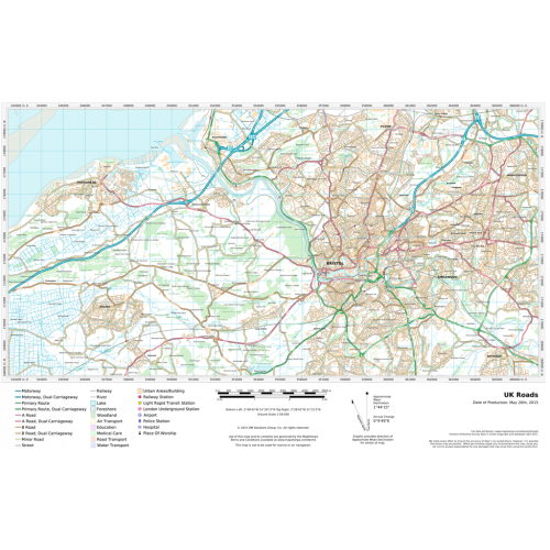
A multi-scale Road map product based on Ordnance Survey data and cartographic styles. Make a map of anywhere in England, Scotland and Wales. This product provides continuous coverage in the U.K between the scales of 1:10,000 and 1:1,000,000. Updated twice a year this product provides detailed ‘street level’ mapping. Features on the map can include; buildings, roads, railways, rivers, forests, place names and points of interest such as schools, hospitals, police and train stations.
Details
A multi-scale Road map product based on Ordnance Survey data and cartographic styles. Make a map of anywhere in England, Scotland and Wales. This product provides continuous coverage in the U.K between the scales of 1:10,000 and 1:1,000,000. Updated twice a year this product provides detailed ‘street level’ mapping. Features on the map can include; buildings, roads, railways, rivers, forests, place names and points of interest such as schools, hospitals, police and train stations.
More Information
| SKU | c10f558618f0a144bfe61148303f46df |
|---|---|
| Map Specification | Min Print Scale - 1:1,000,000 Max Print Scale - 1:5,000 Optimal Print Scales - all |
| Publisher Name | MapSherpa |
Reviews
{{title}}
{{detail}}