XYZ UK Historical Bartholomew Scotland 1920
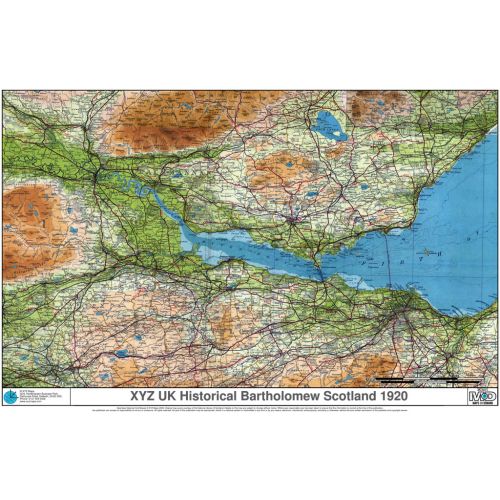
Bartholomew mapping at 1:126 000 in the same style as the revolutionary Survey Atlas of Scotland (1912), the first recognisably ‘modern’ atlas mapping. These maps date from the 1920s and give hours of interest given the changes that have occurred since. Converted to the present day GB National Grid.
Details
Bartholomew mapping at 1:126 000 in the same style as the revolutionary Survey Atlas of Scotland (1912), the first recognisably ‘modern’ atlas mapping. These maps date from the 1920s and give hours of interest given the changes that have occurred since. Converted to the present day GB National Grid.
More Information
| SKU | c7defe961a1d4dd551bfa563d017a552 |
|---|---|
| Map Specification | Optimum Print Scale: 1:126,000 |
| Publisher Name | XYZ Maps |
Reviews
{{title}}
{{detail}}
No reviews yet ...
Have an opinion? Help others decide. Share your knowledge about this product by submitting a review.
{{/items}}
{{#previousPage}}
Previous Page
{{/previousPage}}
{{#load-more-src}}
Next Page
{{/load-more-src}}
★★★★★
★★★★★