European Union 2017 Wall Map
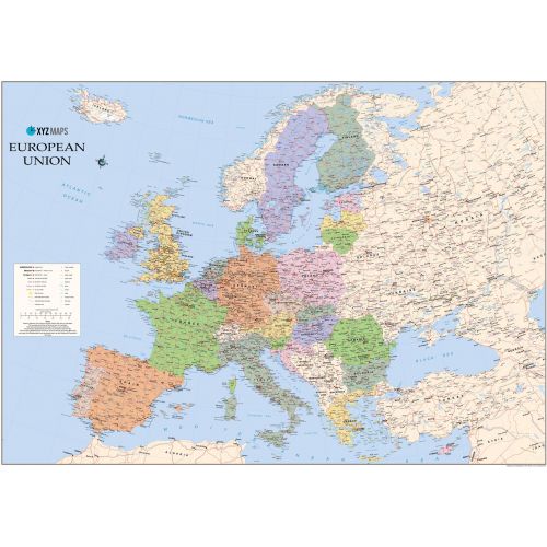
The European Union 2017 Political wall map is ideal for the office or educational environment. This EU map features political colouring showing Europe and the member countries of the European Union. All major Towns, Roads, Rivers and Lakes are shown on this map. This map shows the 2017 membership of the EU.
Details
The European Union 2017 Political wall map is ideal for the office or educational environment. This EU map features political colouring showing Europe and the member countries of the European Union. All major Towns, Roads, Rivers and Lakes are shown on this map. This map shows the 2017 membership of the EU.
More Information
| SKU | xyz-9781910937976-1 |
|---|---|
| Map Scale | 1:4,600,000 |
| Flat Size | 47 x 33.25 in |
| Publication Date | 2017 |
| Publisher Name | XYZ Maps |
Reviews
{{title}}
{{detail}}
No reviews yet ...
Have an opinion? Help others decide. Share your knowledge about this product by submitting a review.
{{/items}}
{{#previousPage}}
Previous Page
{{/previousPage}}
{{#load-more-src}}
Next Page
{{/load-more-src}}
★★★★★
★★★★★