Hamilton Ontario Postal Code Map
Details
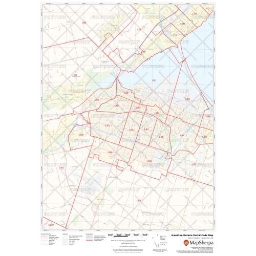
Hamilton Postal Code Map
The Hamilton Ontario postal code map can be used for quick reference of infrastructures & other street details like interchanges, weigh stations, and tolls. It also features information about airports, hospitals, shopping malls, exhibition centers, industrial complexes, hamilton downtown & other business-centric areas. The up-to-date information is ideal to create multiple maps from city to county scales or anywhere in between.
You can customize it by searching for a location on the map and use the zoom settings to define the print area. Preview the map after making the final adjustments. Also, add a title and select the desired size, orientation, and finishing material before placing an order.
About Hamilton
One of Canada’s leading industrial centers, Hamilton is a city in Ontario. It includes Canada's largest iron and steel industry which began in the mid 19th century. Other major industries include the manufacture of railroad equipment, clothing, appliances, turbines, automotive parts, wire, nails, and candy.
You can also customize a Hamilton Ontario Map around the area of your choice or buy a large detailed Hamilton map.
About Postal Codes
Every administrative division in Canada maintains its own postal code for mail delivery purposes. These codes are categorized into 2 sections and are written in an ANA NAN format. The first segment of the code is known as the 'forward sortation area' (FSA) and is used to identify the geographic location of the address. The Forward Sortation Area of Hamilton ranges from L8E to L8W, L9A to L9C, L9G to L9H, L9K.
The first character of FSA is the 'postal district', which splits the country into major geographic regions. The second character separates rural and urban regions. The number '0' denotes a rural region whereas the numbers from 1 to 9 represent the urban areas. Lastly, the third character is used to more precisely describe the geographic area of the address.
The second segment is called the 'location delivery unit' (LDU), it represents either a specific address or group of addresses. It can cover an entire city block, all of a high-rise, a small rural community or even a single house.
More Information
| SKU | ecfe74dcf99c2bec1d4450323d39fec2-Hamilton_ON |
|---|---|
| Map Specification | Max Print Scale - 1:15,000 Min Print Scale - 1:2,000,000 Optimal Print Scale - All |
| Publisher Name | MapSherpa |
Reviews
{{title}}
{{detail}}