Historic Aeronautical Charts
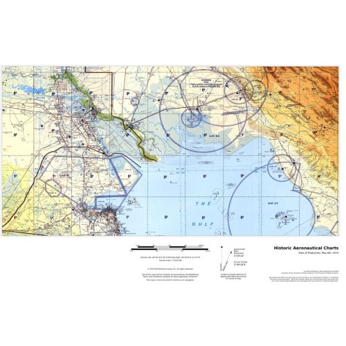
This multi-scale product is created from Tactical Pilotage Charts and Operational Navigational Charts. These topographic maps with aeronautical information provides coverage over the Mediterranean, Africa, the Middle East, and across the Himalayas to Japan. Individual map sheets have been combined into a seamless layer. and provide some of the most detailed mapping available for many remote parts of the world. Suitable for printing between 1:250,000 and 1:2,000,000.
Details
This multi-scale product is created from Tactical Pilotage Charts and Operational Navigational Charts. These topographic maps with aeronautical information provides coverage over the Mediterranean, Africa, the Middle East, and across the Himalayas to Japan. Individual map sheets have been combined into a seamless layer. and provide some of the most detailed mapping available for many remote parts of the world. Suitable for printing between 1:250,000 and 1:2,000,000.
More Information
| SKU | ff316c7d721cabfd0e867327e921f239 |
|---|---|
| Map Specification | Min Print Scale - 1:2,000,000 Max Print Scale - 1:250,000 Optimal Print Scales - 1:500,000 & 1:1,000,000 |
| Publisher Name | MapSherpa |
Reviews
{{title}}
{{detail}}