Map of Great Britain and Ireland in German (1899)
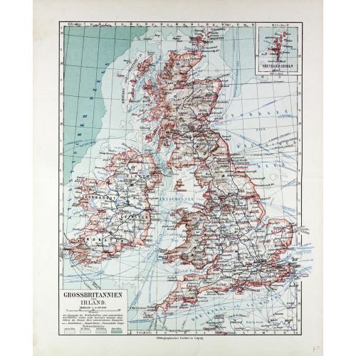
1899 map of Great Britain and Ireland in German showing sea depth and indications of relief on land by German publisher Bibliographisches Institut in Leipzig: Full title: Grossbritannien und Ireland.
Details
1899 map of Great Britain and Ireland in German showing sea depth and indications of relief on land by German publisher Bibliographisches Institut in Leipzig: Full title: Grossbritannien und Ireland.
More Information
| SKU | artokoloro-LC120521-0053-1 |
|---|---|
| Map Scale | 1:4,500,000 |
| Flat Size | 20.5 x 25 in |
| Publication Date | 1899 |
| Publisher Name | Artokoloro |
Reviews
{{title}}
{{detail}}
No reviews yet ...
Have an opinion? Help others decide. Share your knowledge about this product by submitting a review.
{{/items}}
{{#previousPage}}
Previous Page
{{/previousPage}}
{{#load-more-src}}
Next Page
{{/load-more-src}}
★★★★★
★★★★★