Canada, Alaska and Greenland - Published 1947
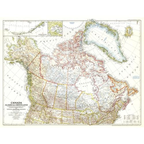
This unique map of Canada, Alaska and Greenland shows North America's northernmost reaches. Published in June 1947, this map provides a snapshot of Canada two years before the Dominion of Newfoundland became its tenth province.
Details
This unique map of Canada, Alaska and Greenland shows North America's northernmost reaches. Published in June 1947, this map provides a snapshot of Canada two years before the Dominion of Newfoundland became its tenth province.
More Information
| SKU | ngmaps-HM19470600-1 |
|---|---|
| Flat Size | 34.5 x 26.5 in |
| Publication Date | 1947 |
| Publisher Name | National Geographic |
Reviews
{{title}}
{{detail}}
No reviews yet ...
Have an opinion? Help others decide. Share your knowledge about this product by submitting a review.
{{/items}}
{{#previousPage}}
Previous Page
{{/previousPage}}
{{#load-more-src}}
Next Page
{{/load-more-src}}
★★★★★
★★★★★