The Great Lakes Region of the United States and Canada - Published 1953
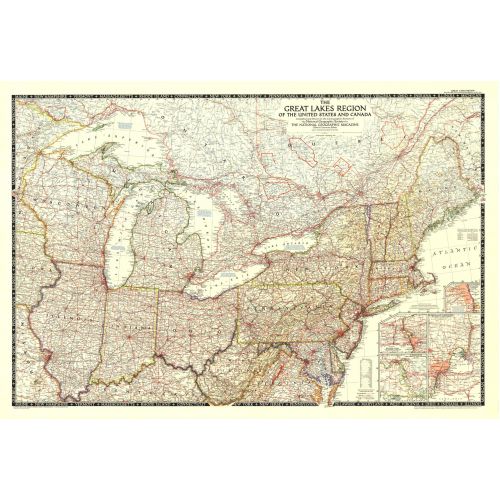
This map showcases the Great Lakes Region of the United States and Canada. Includes four insets: Illinois waterways (Lake Michigan to Lockport), Welland canal (Lake Ontario to Lake Erie), St. Marys River (Lake Huron to Lake Superior), and Detroit and St. Clair Rivers (Lake Erie to Lake Huron). Published in 1953.
Details
This map showcases the Great Lakes Region of the United States and Canada. Includes four insets: Illinois waterways (Lake Michigan to Lockport), Welland canal (Lake Ontario to Lake Erie), St. Marys River (Lake Huron to Lake Superior), and Detroit and St. Clair Rivers (Lake Erie to Lake Huron). Published in 1953.
More Information
| SKU | ngmaps-HM19531200-1 |
|---|---|
| Flat Size | 43 x 29 in |
| Publication Date | 1953 |
| Publisher Name | National Geographic |
Reviews
{{title}}
{{detail}}
No reviews yet ...
Have an opinion? Help others decide. Share your knowledge about this product by submitting a review.
{{/items}}
{{#previousPage}}
Previous Page
{{/previousPage}}
{{#load-more-src}}
Next Page
{{/load-more-src}}
★★★★★
★★★★★