Japan and Korea - Published 1960
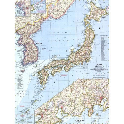
This map of Japan and Korea provides great detail of the region including inset maps of the Ryukyu Islands and U.S.S.R. administered islands. It also features prefectures of Japan and provinces of Korea with their capitals. Published in December 1960.
Details
This map of Japan and Korea provides great detail of the region including inset maps of the Ryukyu Islands and U.S.S.R. administered islands. It also features prefectures of Japan and provinces of Korea with their capitals. Published in December 1960.
More Information
| SKU | ngmaps-HM19601200-1 |
|---|---|
| Flat Size | 19 x 25 in |
| Publication Date | 1960 |
| Publisher Name | National Geographic |
Reviews
{{title}}
{{detail}}
No reviews yet ...
Have an opinion? Help others decide. Share your knowledge about this product by submitting a review.
{{/items}}
{{#previousPage}}
Previous Page
{{/previousPage}}
{{#load-more-src}}
Next Page
{{/load-more-src}}
★★★★★
★★★★★