Map of North Eastern China - Published 1900
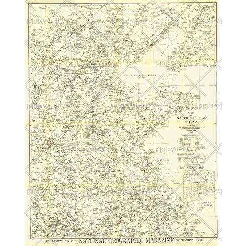
The first map of China printed by National Geographic, this historic black and white map is a true collector's item. Published in September 1900, it features translations of common terms and items of note such as the Great Wall and imperial tomb sites.
Details
The first map of China printed by National Geographic, this historic black and white map is a true collector's item. Published in September 1900, it features translations of common terms and items of note such as the Great Wall and imperial tomb sites.
More Information
| SKU | ngmaps-HM19000900-1 |
|---|---|
| Flat Size | 30 x 37.25 in |
| Publication Date | 1900 |
| Publisher Name | National Geographic |
Reviews
{{title}}
{{detail}}
No reviews yet ...
Have an opinion? Help others decide. Share your knowledge about this product by submitting a review.
{{/items}}
{{#previousPage}}
Previous Page
{{/previousPage}}
{{#load-more-src}}
Next Page
{{/load-more-src}}
★★★★★
★★★★★