New Zealand, New Guinea and the Principal Pacific Islands - Published 1962
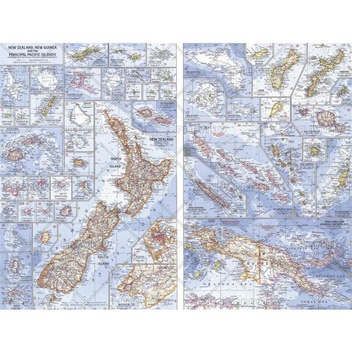
This map of the Pacific Ocean includes Australia, the Pacific Islands, and the continental coastlines that border the ocean. Inset maps provide detail of some of the larger islands groups. Published in April 1962, this map accompanied an article on New Zealand and the map of New Zealand, New Guinea and the Principal Pacific Islands.
Details
This map of the Pacific Ocean includes Australia, the Pacific Islands, and the continental coastlines that border the ocean. Inset maps provide detail of some of the larger islands groups. Published in April 1962, this map accompanied an article on New Zealand and the map of New Zealand, New Guinea and the Principal Pacific Islands.
More Information
| SKU | ngmaps-HM19620402-1 |
|---|---|
| Flat Size | 25 x 19 in |
| Publication Date | 1962 |
| Publisher Name | National Geographic |
Reviews
{{title}}
{{detail}}
No reviews yet ...
Have an opinion? Help others decide. Share your knowledge about this product by submitting a review.
{{/items}}
{{#previousPage}}
Previous Page
{{/previousPage}}
{{#load-more-src}}
Next Page
{{/load-more-src}}
★★★★★
★★★★★