North America - Published 1952
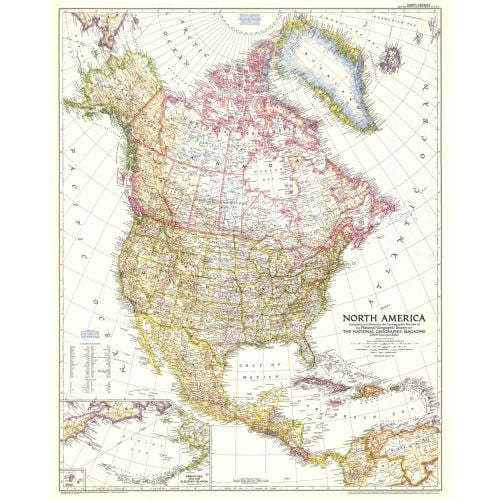
The North America map of March 1952 includes Central America and the West Indies as well as inset maps of both the Aleutian and Diomede Islands. Of particular note is the absence of the Interstate Highway System in the United States which was yet to be built.
Details
The North America map of March 1952 includes Central America and the West Indies as well as inset maps of both the Aleutian and Diomede Islands. Of particular note is the absence of the Interstate Highway System in the United States which was yet to be built.
More Information
| SKU | ngmaps-HM19520300-1 |
|---|---|
| Flat Size | 28 x 35 in |
| Publication Date | 1952 |
| Publisher Name | National Geographic |
Reviews
{{title}}
{{detail}}
No reviews yet ...
Have an opinion? Help others decide. Share your knowledge about this product by submitting a review.
{{/items}}
{{#previousPage}}
Previous Page
{{/previousPage}}
{{#load-more-src}}
Next Page
{{/load-more-src}}
★★★★★
★★★★★