Portugal Topographic
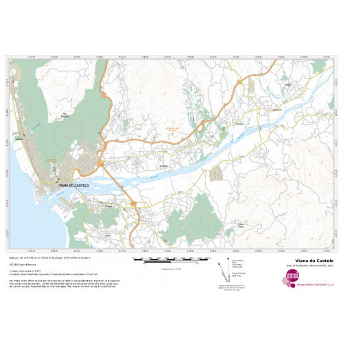
This topographic map of Portugal shows features including cities and towns, highways with labels, major roads, streets, pathways, railways, train and metro stations, airports, parks and green space, waterways, contour lines with 25m interval, and peaks with elevation noted.
Details
This topographic map of Portugal shows features including cities and towns, highways with labels, major roads, streets, pathways, railways, train and metro stations, airports, parks and green space, waterways, contour lines with 25m interval, and peaks with elevation noted.
More Information
| SKU | 76cb37d1e1ef377dbbec319d7e0d2e9b |
|---|---|
| Map Specification | Maximum Print Scale - 1:25,000 Minimum Print Scale - 1:75,000 Optimal print scale - 1:50,000 |
| Publisher Name | Maps International |
Reviews
{{title}}
{{detail}}
No reviews yet ...
Have an opinion? Help others decide. Share your knowledge about this product by submitting a review.
{{/items}}
{{#previousPage}}
Previous Page
{{/previousPage}}
{{#load-more-src}}
Next Page
{{/load-more-src}}
★★★★★
★★★★★