Regional Relief Map - United States
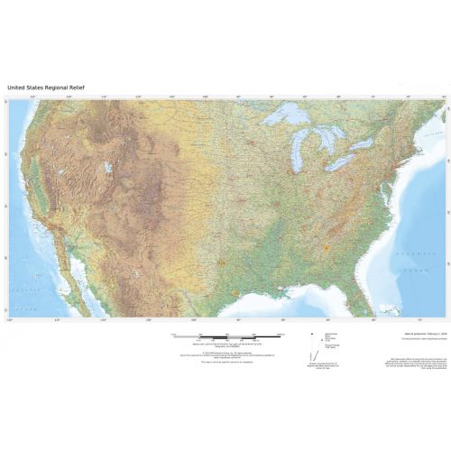
These beautiful maps show Political and Physical features for the lower 48 U.S. States. Maps contain extensive country specific features and text. Relief shading and the use of different colors by height above sea level are both informative and attractive. Custom maps can be made at scales between 1:1,000,000 and 1:4,000,000.
Details
These beautiful maps show Political and Physical features for the lower 48 U.S. States. Maps contain extensive country specific features and text. Relief shading and the use of different colors by height above sea level are both informative and attractive. Custom maps can be made at scales between 1:1,000,000 and 1:4,000,000.
More Information
| SKU | c100caf317371b33be34a553180f7496 |
|---|---|
| Map Specification | Min Print Scale - 1:4,000,000 Max Print Scale - 1:1,000,000 Optimal Print Scale - 1:2,000,000 |
| Publisher Name | MapSherpa |
Reviews
{{title}}
{{detail}}