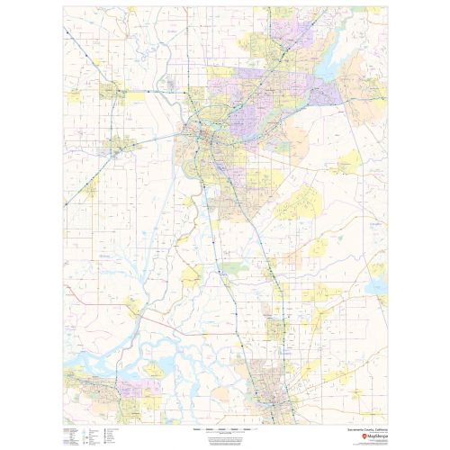
Sacramento County Zip Code Map, California
This map of Sacramento County, California shows regional level information. Base map features include highways and major roads with labelling; railways; high level land use such as parks and recreation areas; and a selection of points of interest including transportation hubs like airports and train stations, tourist information and police stations. ZIP code boundaries are shown as a secondary map feature.
Details
Sacramento County, California Map major roads with highway numbering and high level land use such as parks and recreation areas. Available at Online Store Of Maptrove.ca, Visit Now.
More Information
| SKU | dmsg-county-str-sacramento-CA-1 |
|---|---|
| Map Scale | 1:95,000 |
| Flat Size | 36 x 48 in |
| Publication Date | 2018 |
| Publisher Name | MapSherpa |
Reviews
{{title}}
{{detail}}
No reviews yet ...
Have an opinion? Help others decide. Share your knowledge about this product by submitting a review.
{{/items}}
{{#previousPage}}
Previous Page
{{/previousPage}}
{{#load-more-src}}
Next Page
{{/load-more-src}}
★★★★★
★★★★★
Related Products
California State Map
As low as
$22.99
San Bernardino County Zip Code Map, California
As low as
$49.99
San Diego County Zip Code Map, California
As low as
$39.99
Santa Clara County Zip Code Map, California
As low as
$49.99
Los Angeles Zip Codes Map, California
As low as
$49.99
Los Angeles County Zip Code Map, California
As low as
$49.99
Sacramento County Zip Code Map, California ZIP Codes
As low as
$49.99
San Bernardino County Zip Code Map, California ZIP Codes
As low as
$49.99