Southampton Ontario Map
We also offer a premium version of this Southampton Ontario Map using TomTom's map data starting at $39.99. If you have any questions, we will be happy to answer over the phone (866) 525-2298 or write to us
Details
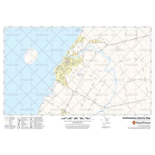
Southampton Ontario map
The map of Southampton Ontario contains rich information about the Municipal, Town and Zip Code boundaries with highway infrastructure including, interchanges, weigh stations and tolls. This data is ideal for the business owner who needs local or regional road network information for service delivery, catchment area or sales territory. Full street labeling, block numbers, street direction, and major infrastructures such as airports, hospitals, industrial complexes are also identifiable on the map.
You can buy this map in your choice of size, orientation, and finishing material. We also have an option to customize the map around your preferred location or business service area. Click on 'Close Preview' to start editing the print area.
About Southampton Ontario
The community of Southampton is situated on the shores of Lake Huron in Bruce County, Ontario. Lying close to Port Elgin, it is located at the mouth of the Saugeen River. They still have post office and road signs indicating the name Southampton but it is no longer an entity. The Port Elgin, Southampton, and Township of Saugeen along the shores of Lake Huron were amalgamated to form the Town of Port Elgin-Saugeen-Southampton in 1998.
The people of Southampton are employed mostly in agriculture, small business, tourism, and the Bruce Power nuclear power station. It is the bedroom community, a retirement destination and also a tourist destination.
More Information
| SKU | 9ec2ccde4ea71cd83900cdedf628c943-Sthampton_ON |
|---|---|
| Map Specification | Max Print Scale - 1:15,000 Min Print Scale - 1:2,000,000 Optimal Print Scale - All |
| Publisher Name | MapSherpa |
Reviews
{{title}}
{{detail}}