Boston To Washington Circa 1830 - Published 1830
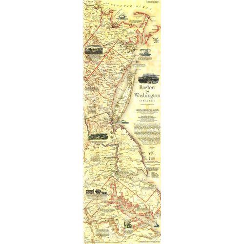
This historical map is based on plates drafted by Henry Schenk Tanner which cover the Atlantic Coast from Boston to Washington, D.C. Features a variety of historical notes and illustrations. Published in July 1994 as half of a two–map set with "Boston to Washington, Megalopolis."
Details
This historical map is based on plates drafted by Henry Schenk Tanner which cover the Atlantic Coast from Boston to Washington, D.C. Features a variety of historical notes and illustrations. Published in July 1994 as half of a two–map set with "Boston to Washington, Megalopolis."
More Information
| SKU | ngmaps-HM19940701-1 |
|---|---|
| Flat Size | 10 x 31.25 in |
| Publication Date | 1830 |
| Publisher Name | National Geographic |
Reviews
{{title}}
{{detail}}
No reviews yet ...
Have an opinion? Help others decide. Share your knowledge about this product by submitting a review.
{{/items}}
{{#previousPage}}
Previous Page
{{/previousPage}}
{{#load-more-src}}
Next Page
{{/load-more-src}}
★★★★★
★★★★★