Boston To Washington Megalopolis - Published 1994
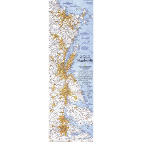
This map highlights the region dubbed "Megalopolis" in 1961, comprised of the densely populated 500-mile swath of eastern cities from Boston to Washington, D.C. Published in July 1994 as half of a two–map set with "Boston to Washington, Circa 1830."
Details
This map highlights the region dubbed "Megalopolis" in 1961, comprised of the densely populated 500-mile swath of eastern cities from Boston to Washington, D.C. Published in July 1994 as half of a two–map set with "Boston to Washington, Circa 1830."
More Information
| SKU | ngmaps-HM19940702-1 |
|---|---|
| Flat Size | 10 x 31.25 in |
| Publication Date | 1994 |
| Publisher Name | National Geographic |
Reviews
{{title}}
{{detail}}
No reviews yet ...
Have an opinion? Help others decide. Share your knowledge about this product by submitting a review.
{{/items}}
{{#previousPage}}
Previous Page
{{/previousPage}}
{{#load-more-src}}
Next Page
{{/load-more-src}}
★★★★★
★★★★★