Blaeu Map of the British Isles (1631)
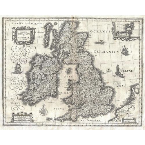
1631 map of England, Scotland and Ireland by Dutch catrographer Willem Janszoon Blaeu. Full title: Magnae Britanniae et Hiberniae Tabula.
Details
1631 map of England, Scotland and Ireland by Dutch catrographer Willem Janszoon Blaeu. Full title: Magnae Britanniae et Hiberniae Tabula.
More Information
| SKU | artokoloro-AM-170829-0010-1 |
|---|---|
| Flat Size | 18.75 x 14.75 in |
| Publication Date | 1631 |
| Publisher Name | Artokoloro |
Reviews
{{title}}
{{detail}}
No reviews yet ...
Have an opinion? Help others decide. Share your knowledge about this product by submitting a review.
{{/items}}
{{#previousPage}}
Previous Page
{{/previousPage}}
{{#load-more-src}}
Next Page
{{/load-more-src}}
★★★★★
★★★★★