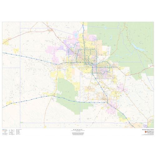
Maricopa County Zip Code Map, Arizona
This map of Maricopa County, Arizona shows regional level information. Base map features include highways and major roads with labelling; high level land use such as parks and recreation areas; and a selection of points of interest including transportation hubs like airports and train stations, tourist information and police stations.
Details
Maricopa County, Arizona Map Shows Highways & Major Roads with Labelling, High Level Land, Transportation Hub (airports, train stations). Visit The Online Store Of Maptrove.ca, Buy Now!
More Information
| SKU | dmsg-county-str-maricopa-AZ-1 |
|---|---|
| Map Scale | 1:225,000 |
| Flat Size | 48 x 36 in |
| Publication Date | 2018 |
| Publisher Name | MapSherpa |
Reviews
{{title}}
{{detail}}
No reviews yet ...
Have an opinion? Help others decide. Share your knowledge about this product by submitting a review.
{{/items}}
{{#previousPage}}
Previous Page
{{/previousPage}}
{{#load-more-src}}
Next Page
{{/load-more-src}}
★★★★★
★★★★★
Related Products
Pima County, Arizona Map
As low as
$49.99
Pima County, Arizona ZIP Codes Map
As low as
$49.99
Maricopa County Zip Code Map, Arizona ZIP Codes
As low as
$49.99
Arizona State Map
As low as
$29.99
Los Angeles Zip Codes Map, California
As low as
$49.99
Phoenix Zip Codes Map, Arizona ZIP Codes
As low as
$49.99
Riverside County Zip Code Map, California ZIP Codes
As low as
$49.99
Sacramento County Zip Code Map, California ZIP Codes
As low as
$49.99