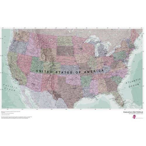
Executive USA Political Map
Splendid map of the USA in muted tones. This USA map clearly depicts all the cities, major roads and also shows all the state areas and boundaries.
Details
Executive USA Political Map is an Splendid map in muted tones. It clearly depicts all the cities, major roads & also shows all the state areas and boundaries.
More Information
| SKU | 4db90f42a3659332da96597edb1dc597 |
|---|---|
| Map Specification | Optimum Print Scale: 1:4,250,000 |
| Publisher Name | Maps International |
Reviews
{{title}}
{{detail}}
No reviews yet ...
Have an opinion? Help others decide. Share your knowledge about this product by submitting a review.
{{/items}}
{{#previousPage}}
Previous Page
{{/previousPage}}
{{#load-more-src}}
Next Page
{{/load-more-src}}
★★★★★
★★★★★
Related Products
Detailed Map of USA
As low as
$44.99
Kids Political USA Map Education: Grades 4-12
As low as
$64.99
National Geographic TOPO! Map
As low as
$21.99
USA Map Explorer
As low as
$19.99
USA Streets Map
As low as
$39.99
USA Terrain Map
As low as
$19.99
USA Topo Map - Modern
As low as
$19.99
USA Map Political
As low as
$70.00