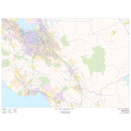
Santa Clara County Zip Code Map, California
This map of Santa Clara County, California shows regional level information. Base map features include highways and major roads with labelling; railways; high level land use such as parks and recreation areas; and a selection of points of interest including transportation hubs like airports and train stations, tourist information and police stations. ZIP code boundaries are shown as a secondary map feature.
Details
Santa Clara County, California Shows ZIP Code boundaries, highways and major roads with labeling, transportation hubs like airports & train stations
More Information
| SKU | dmsg-county-str-santa-clara-CA-1 |
|---|---|
| Map Scale | 1:85,000 |
| Flat Size | 48 x 36 in |
| Publication Date | 2018 |
| Publisher Name | MapSherpa |
Reviews
{{title}}
{{detail}}
No reviews yet ...
Have an opinion? Help others decide. Share your knowledge about this product by submitting a review.
{{/items}}
{{#previousPage}}
Previous Page
{{/previousPage}}
{{#load-more-src}}
Next Page
{{/load-more-src}}
★★★★★
★★★★★
Related Products
California State Map
As low as
$22.99
Los Angeles County Zip Code Map, California
As low as
$39.99
Orange County Map, California
As low as
$39.99
Fresno County, California Map
As low as
$49.99
Los Angeles County Zip Code Map, California
As low as
$49.99
San Diego County Zip Code Map, California ZIP Codes
As low as
$49.99
Santa Clara County Zip Code Map, California ZIP Codes
As low as
$49.99