US Travelers Atlas - Continental US
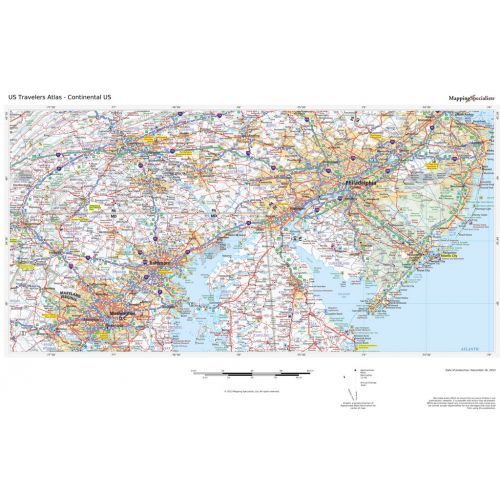
U.S. Regional data based on a 1:1 million scale dataset. Perfect for the creation of regional and state level maps. Includes highways, cities & towns, points of interest, and shaded relief. Each map includes projection information and scale.
Details
U.S. Regional data based on a 1:1 million scale dataset. Perfect for the creation of regional and state level maps. Includes highways, cities & towns, points of interest, and shaded relief. Each map includes projection information and scale.
More Information
| SKU | 664ce8688487d9912c110dac3b04a994 |
|---|---|
| Map Specification | Optimum Print Scale: 1:1,100,000 |
| Publisher Name | Mapping Specialists |
Reviews
{{title}}
{{detail}}
No reviews yet ...
Have an opinion? Help others decide. Share your knowledge about this product by submitting a review.
{{/items}}
{{#previousPage}}
Previous Page
{{/previousPage}}
{{#load-more-src}}
Next Page
{{/load-more-src}}
★★★★★
★★★★★
Related Products
USA Map Explorer
As low as
$19.99
USA Interstate Highways Wall Map
As low as
$16.99
USA National Park Service Wall Map
As low as
$24.99
USA Map Political
As low as
$70.00
USA Classic Map
As low as
$32.99
US Travelers Atlas - Hawaii
As low as
$33.99
US Travelers Atlas - Alaska
As low as
$33.99
Travelers Map of Mexico - Published 1994
As low as
$33.99
A Traveler's Map of the Alps - Published 1985
As low as
$32.99