Europe Political
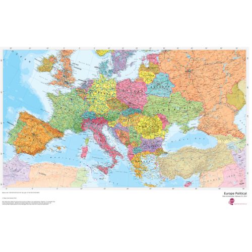
Our politically coloured map of Europe features countries marked in different colours, with international boundaries shown. All major towns and cities of Europe are featured within our huge map, and the countries capital cities are clearly marked. The map contains hill and sea shading adding to the vibrant overall effect.
Details
Our politically coloured map of Europe features countries marked in different colours, with international boundaries shown. All major towns and cities of Europe are featured within our huge map, and the countries capital cities are clearly marked. The map contains hill and sea shading adding to the vibrant overall effect.
More Information
| SKU | 1ef776f48bc05f5f8714b14952adb3f2 |
|---|---|
| Map Specification | Optimum Print Scale: 1:3,600,000 |
| Publisher Name | Maps International |
Reviews
{{title}}
{{detail}}
No reviews yet ...
Have an opinion? Help others decide. Share your knowledge about this product by submitting a review.
{{/items}}
{{#previousPage}}
Previous Page
{{/previousPage}}
{{#load-more-src}}
Next Page
{{/load-more-src}}
★★★★★
★★★★★