Europe Political Wall Map
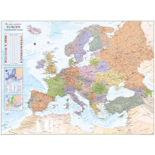
Political map of Europe overlaid on a shanded relief, with information panels on the European Union, language, time zones, international dialling codes and 2004 population estimates. Map features include cities and towns, peaks, airports and major road and railway network features.
Details
Political map of Europe overlaid on a shanded relief, with information panels on the European Union, language, time zones, international dialling codes and 2004 population estimates. Map features include cities and towns, peaks, airports and major road and railway network features.
More Information
| SKU | globalmapping-9781905755554-1 |
|---|---|
| Map Scale | 1:4,600,000 |
| Flat Size | 53 x 39.5 in |
| Publication Date | 11/1/2017 |
| Publisher Name | Global Mapping |
Reviews
{{title}}
{{detail}}
No reviews yet ...
Have an opinion? Help others decide. Share your knowledge about this product by submitting a review.
{{/items}}
{{#previousPage}}
Previous Page
{{/previousPage}}
{{#load-more-src}}
Next Page
{{/load-more-src}}
★★★★★
★★★★★