Scandinavia Classic
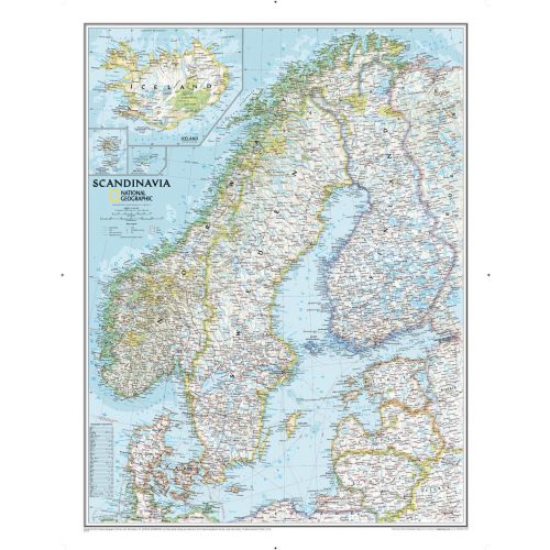
Wall map of Scandinavia and surrounding countries conforms to National Geographic's demanding cartographic standards. Unparalleled detail shows political boundaries, major cities and towns, fjords and other bodies of water, major highways and roads, airports, national parks, and much more.
Details
Wall map of Scandinavia and surrounding countries conforms to National Geographic's demanding cartographic standards. Unparalleled detail shows political boundaries, major cities and towns, fjords and other bodies of water, major highways and roads, airports, national parks, and much more.
More Information
| SKU | ngmaps-RE00622072-1 |
|---|---|
| Map Scale | 1:2,765,000 |
| Flat Size | 23.5 x 30.25 inches |
| Publication Date | 2014 |
| Publisher Name | National Geographic |
Reviews
{{title}}
{{detail}}
No reviews yet ...
Have an opinion? Help others decide. Share your knowledge about this product by submitting a review.
{{/items}}
{{#previousPage}}
Previous Page
{{/previousPage}}
{{#load-more-src}}
Next Page
{{/load-more-src}}
★★★★★
★★★★★