West Indies - Published 2003
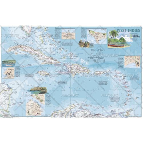
This attractive political map shows the many island countries comprising the West Indies and contains inset maps and information for the cities of San Juan, Nassau, Charlotte Amalie, George Town, and Havana. Published in March 2003 as half of a two–map set with "A Traveler's Map of the West Indies."
Details
This attractive political map shows the many island countries comprising the West Indies and contains inset maps and information for the cities of San Juan, Nassau, Charlotte Amalie, George Town, and Havana. Published in March 2003 as half of a two–map set with "A Traveler's Map of the West Indies."
More Information
| SKU | ngmaps-HM20030301-1 |
|---|---|
| Flat Size | 31.25 x 20.25 in |
| Publication Date | 2003 |
| Publisher Name | National Geographic |
Reviews
{{title}}
{{detail}}
No reviews yet ...
Have an opinion? Help others decide. Share your knowledge about this product by submitting a review.
{{/items}}
{{#previousPage}}
Previous Page
{{/previousPage}}
{{#load-more-src}}
Next Page
{{/load-more-src}}
★★★★★
★★★★★