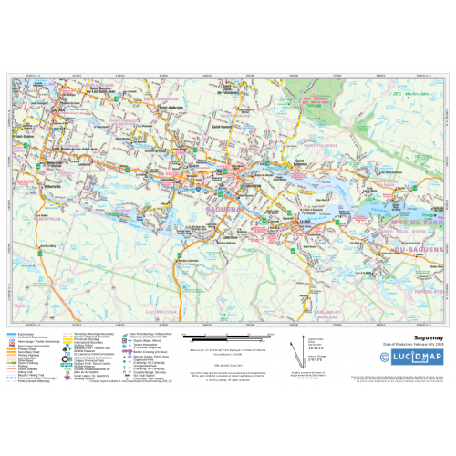
Eastern Quebec
Create custom regional maps in Canada from this series of attractive detailed road maps covering most of the populated areas across Canada. Maps are developed from Lucidmap’s iconic Canadian cartography. Coverage in eastern Québec is along the Saint Lawrence river from Cap-Chat to Lotbinèire along the southern shore, and Rivière-Portneuf to Deschambault on the northern shore. The southern boundary of the map is the Canada-USA border. The area around the Saguenay River to Lac Saint-Jean is also included. Native scale is 1:250,000.
Details
Create custom regional maps in Canada from this series of attractive detailed road maps covering most of the populated areas across Canada. Maps are developed from Lucidmap’s iconic Canadian cartography. Coverage in eastern Québec is along the Saint Lawrence river from Cap-Chat to Lotbinèire along the southern shore, and Rivière-Portneuf to Deschambault on the northern shore. The southern boundary of the map is the Canada-USA border. The area around the Saguenay River to Lac Saint-Jean is also included. Native scale is 1:250,000.
More Information
| SKU | 350d063ad1a0d2090b5707633fe7cbba |
|---|---|
| Map Specification | Maximum Print Scale - 1:150,000 Minimum Print Scale - 1:375,000 Optimal Print Scale - 1:250,000 |
| Publisher Name | Lucidmap |
Reviews
{{title}}
{{detail}}