Williston Lake Map
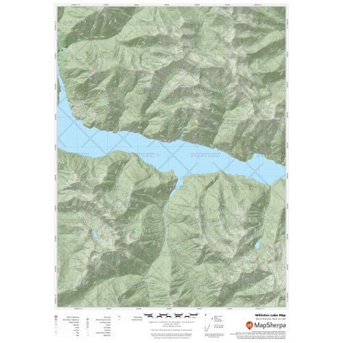
Williston Lake map uses relief shading to highlight traditional topographic features like elevation contours, landforms, lakes, and rivers along with roads, rails, trails, and park boundaries. The base map shows key points of interest such as campsites, trailheads, and landmarks. You can buy this map in high-quality print in your choice of orientation, size, and finishing material. The map can also be customized around your central location.
If you have any questions, reach out to us over the phone (866) 525-2298 or write to us.
Details
Williston Lake Map
Williston Lake is a reservoir created by the W. A. C. Bennett Dam. Located in Northern Interior of British Columbia, Canada, the reservoir was named after the Honourable Ray Gillis Williston at the time the Minister of Lands, Forests and Water Resources. It lake includes three reaches, the Peace Reach, and the Parsnip and Finlay Reaches and covers a total area of 1,761 km2.
More Information
| SKU | 9ec2ccde4ea71cd83900cdedf628db72-Williston-L-BC |
|---|---|
| Map Specification | Max Print Scale - 1:15,000 Min Print Scale - 1:2,000,000 Optimal Print Scale - All |
| Publisher Name | MapSherpa |
Reviews
{{title}}
{{detail}}