Northwest Territories
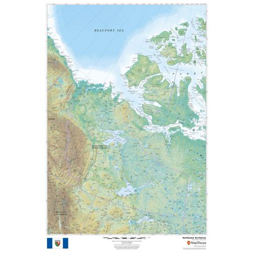
This beautiful map shows physical and political features for the Northwest Territories and surrounding areas. Relief shading and the use of different colours by height above sea level are both informative and attractive.
Details
Northwest Territories Map
This beautiful map shows physical and political features for the Northwest Territories and surrounding areas. Relief shading and the use of different colours by height above sea level are both informative and attractive.
Facts and Figures:
| Area Covered | 1,143,793.86 km2 |
| Latlong Coordinates | 64.8255° N, 124.8457° W |
| Capital | Yellowknife |
| Population | 41, 786 |
| Postal Code | X |
| Nearby Cities/States | Aklavik, Deline, Enterprise, Fort Good Hope, Fort Liard, Fort McPherson, Fort Smith, Hay River, Inuvik |
| Popular Places | Nahanni National Park Reserve, Great Slave Lake, Great Bear Lake, Prince of Wales Northern Heritage Centre, Aulavik National Park, Ursulines of Quebec, Blachford Lake, Pingo National Landmark, Alexandra Falls, Gallery of the Midnight Sun, etc. |
| Economy | Northwest Territories' geological resources include gold, diamonds, natural gas and petroleum. It has the highest per capita GDP of all provinces or territories in Canada |
More Information
| SKU | dmsg-rel-NT-1 |
|---|---|
| Map Scale | 1:3,000,000 |
| Flat Size | 24 x 36 in |
| Publication Date | 2018 |
| Publisher Name | MapSherpa |
Reviews
{{title}}
{{detail}}
No reviews yet ...
Have an opinion? Help others decide. Share your knowledge about this product by submitting a review.
{{/items}}
{{#previousPage}}
Previous Page
{{/previousPage}}
{{#load-more-src}}
Next Page
{{/load-more-src}}
★★★★★
★★★★★