Red Deer Postal Code Map
Details
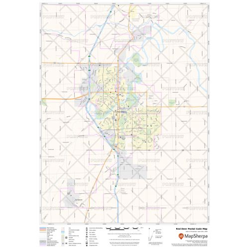
Red Deer Postal Code Map
The postal code map of Red Deer shows political boundaries, place names, highways, major parks and conservation areas, and points of interest. The map is ideal for tracking down delivery service areas, sales territories, and catchment areas. You can use this map for quick reference of infrastructures & other street details like interchanges, weigh stations and tolls. Moreover, it also assists in providing up-to-date information & is suitable to create multiple maps from city to county scales or anywhere in between.
You can create multiple maps by customizing this map around your business service area. Search for the location on the map and drag the arrows to define the print area. You can preview your map with all the details of the final print but at a much lower quality. The final map is available in high quality with clear boundaries that divide different postal codes. You also get the option to add a title and select your desired size, orientation, and finishing material.
About Red Deer
Red Deer city is located near the midpoint of the Calgary–Edmonton Corridor and is Alberta's third-most-populous city. The city is a center for the oil and agriculture distribution, and the surrounding region is a major center for petrochemical production. It had a population of 100,418 as of the Canada 2016 census making Red Deer Alberta's third city to surpass 100,000 people. The British traders named the city after the Red Deer River.
About Postal Codes
In 2011, Canada had approx 834,000 postal codes, according to Statistics Canada. These postal codes are written in "ANA NAN" format, where A is a capital letter of the alphabet and N is a number. The first three characters are regional indicators, and the second set is the local indicator.
These postal codes come in handy while:
1. Locating the nearest postal outlet.
2. Identifying your federal riding and member of parliament.
3. Finding the nearest bank branches and ATMs as most Canadian banks also have online tools that use postal codes.
You can also view the Canada Postal Code Map, Calgary Alberta Postal Code Map, Edmonton Alberta Map, Edmonton Map, and Map of Downtown Edmonton Alberta
More Information
| SKU | ecfe74dcf99c2bec1d4450323d39fec2-Red-Deer-P-AB |
|---|---|
| Map Specification | Max Print Scale - 1:15,000 Min Print Scale - 1:2,000,000 Optimal Print Scale - All |
| Publisher Name | MapSherpa |
Reviews
{{title}}
{{detail}}